Rangitoto Island Summit Walk
4.6km (2 hrs)
Rangitoto is the youngest and largest of Auckland’s 48 volcanic cones, and is home to the world’s largest pohutukawa forest.
It’s just a short ferry ride across the harbour from Auckland and has some excellent walks up to the summit where you’ll enjoy some spectacular views of the Hauraki Gulf and out to the rugged horizons of the Waitakere Ranges in the west and Hunua Ranges in the east.
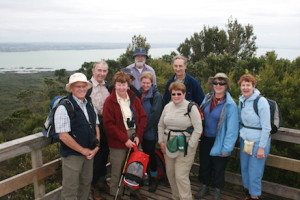
The Rangitoto Summit Track is the shortest and most popular route to the summit and begins at Rangitoto Wharf. and climbs through lava fields and forest to the peak at 259 metres above sea level. The summit gives panoramic views of Auckland and the Hauraki Gulf. At the summit, another track circles the rim off the crater.
 Getting there
A number of private ferry operators run trips to Rangitoto Wharf, and some to Islington Bay Wharf. Take care not to miss your ferry back, as there is no overnight accommodation on the island and alternative transport to the mainland is expensive!
Rangitoto is also accessible to experienced kayakers. It takes approximately two hours to kayak to Rangitoto Wharf. Several kayak operators offer kayak rentals and guided kayak tours to Rangitoto.

 Getting there